Pakistan, A Treasure Trove of Wonders. But we care!
 ABBOTTABAD,HAZARA, PUKHTUNKHWA,PAKISTAN.
 MAJOR ABBOTT.

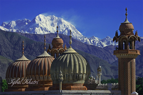
Abbottabad is a small neat and clean town in a spacious valley surrounded by green hills. It is a popular summer resort, located at the end of Murree-Abbottabad hill tract at a height of 1,220 meters, noted for its verdant parks, gardens, golf course and pine covered hills. Abbottabad, apart from being famous for its educational institutions and Military Academy, also serves as the gateway to most beautiful places in Pakistan.
Abbottabad is a small neat and clean town in a spacious valley surrounded by green hills. It is a popular summer resort, located at the end of Murree-Abbottabad hill tract at a height of 1,220 meters, noted for its verdant parks, gardens, golf course and pine covered hills. Abbottabad, apart from being famous for its educational institutions and Military Academy, also serves as the gateway to most beautiful places in Pakistan.

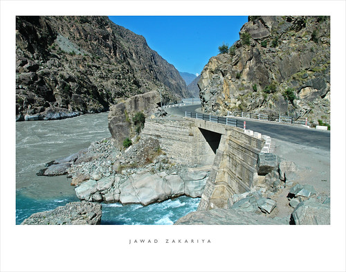
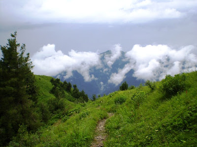
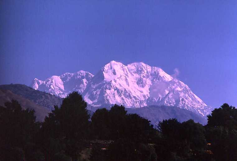
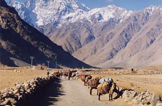
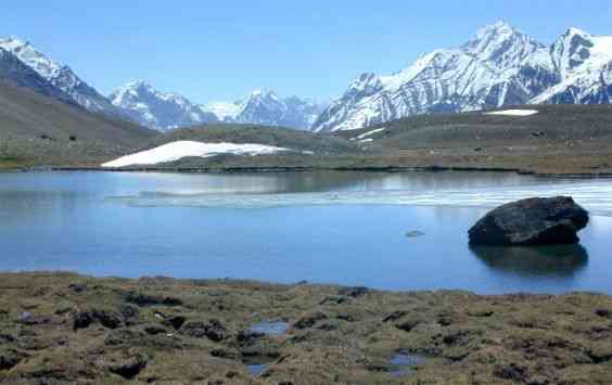
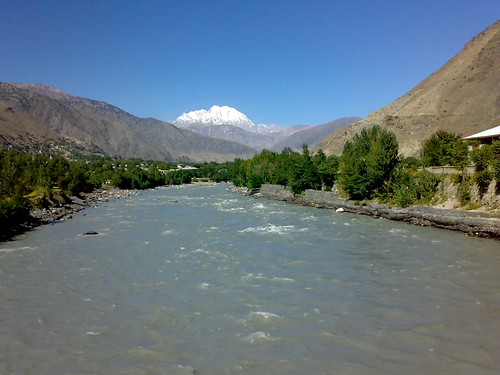
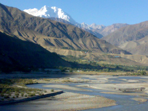
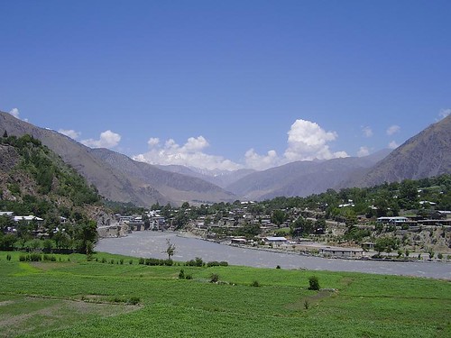
Abbottabad is the gateway to the formidable Karakorams, the enchanting Himalayas and the deadly Hindukush. The great Karakurram Highway passes right through the heart of the city. Due to that, Abbottabad continues to be a transit city for tourists. Abbottabad is the junction from where one can go to places like Hunza, Gilgit, Skardu and Indus Kohistan, of the Karakoram Range. One can reach Swat, Swati Kohistan, Dir and Chitral of the Hindukush Range. One can approach Naran, Saif-ul-Muluk Lake, Shogran and Babusar Pass of the Himalayan Range. Neelum, Lipa and Jhelum Valley of beautiful Azad Kashmir are also connected through Abbottabad.
While other hill stations are deserted during winter this place has visitors due to the bracing winter. The place has beautiful gardens, Jinnah Garden, Ladies Garden and another garden maintained by the Cantonment Board. To the splendid stretch of turf with plenty of room for polo, football, hockey and golf. At the back of the station, to the West, is the Brigade Center, ideal for walks and picnic. The Cantonment area of Abbottabad is still very British. The European bungalows, the club, the church and cemetery are still there. Abbottabad is an hour's drive from Nathiagali, the summer capital of the North West Frontier Province, emerging steeply through beautiful valleys with trees right to the riverbed.

Nature Tourism Services
Nature Tourism Services was established in year 1997. Nature Tourism Services are licensed tour operators and are approved by the Department of Tourist Services, Government of Pakistan.Provide services like, package tours, hotel bookings, transport arrangements, event management, seminars and conference arrangement.


Ayubia Chair Lifts.
A cluster of four small hill stations of Khanaspur, Khairagali, Changlagali and Ghora Dhaka is called Ayubia and was named after former President Ayub Khan. The complex is spread over an area of 26 KM. The central place of Ghora Dhaka has Chair Lifts, which gives a panoramic and mesmerizing view of the surrounding. Ayubia is 38 KM from Abbottabad.


Dungagali.


Dungagali is a picturesque small resort situated on the slopes of the Mukshpuri hill (2,376 meters.). It commands a charming view of a series of wooded spurs projecting towards the river Jhelum on the western side. From Dungagali one can climb the 2,813 meters peak of Mukhshpuri, which is the highest point in the range. Natural springs abound on the slopes. It is 34 KM from Abbottabad.
Nathiagali.


Nathiagali is clad in pine, walnut, oak and maple trees, is the prettiest hill resort in the Galliat region. It can be approached both from Murree and Abbottabad. It is 32 KM from Abbottabad as well as from Murree. Nathiagali is 2501 meter above sea level and is surrounded by lush green lofty mountains. Breathtaking landscapes, spring water and fresh air make it one of the most peaceful hill stations in Nathiagali.
Nathiagali is clad in pine, walnut, oak and maple trees, is the prettiest hill resort in the Galliat region. It can be approached both from Murree and Abbottabad. It is 32 KM from Abbottabad as well as from Murree. Nathiagali is 2501 meter above sea level and is surrounded by lush green lofty mountains. Breathtaking landscapes, spring water and fresh air make it one of the most peaceful hill stations in Pakistan.
Thandiani.


Thandiani means “cold” in the local language. Therefore being a cool place it got the name of “Thandiani”. It is 2,700 meters above sea level on a small plateau surrounded by pine forests. This beautiful spot can easily be approached from Abbottabad, and is 31 KM from main Abbottabad City and 25 KM from Thandiani-Nathiagali crossing. The drive takes more or less 80 minutes from Abbottabad with lovely views on both sides of the road. The road rises more than 1,219 meters above Abbottabad. On the way along with tall majestic pine trees you come across groups of monkeys. The major place on the way is Kalapani at 23 KM from Abbottabad. It has a beautiful local Dak bungalow. Hule Ka Danna is about two KM North of Thandiani. It is one of the most beautiful glades in the region.
Thandiani offers lush green lovely views. At night the lights of Abbottabad District and Azad Kashmir are clearly visible. To the East beyond the Kunhar River, may be seen the snow covered mountain ranges of Kashmir, to the North and NorthEast, the mountains of Kohistan and Kaghan are sighted, to the NorthWest are the snowy ranges of Swat and Chitral.
History
Abbottabad was a city of British India, the headquarters of Hazara Division (then a district), and named after its founder, Major James Abbott. Abbott settled this district in 1853 after the annexation of the Punjab, and became its first Deputy Commissioner. It was an important military cantonment and sanatorium, being the headquarters of a brigade in the second division of the northern army corps. In 1901 the population of the town and cantonment was 7764. Before leaving Abbottabad, Major Abbott wrote a poem Abbottabad. Point of interest for Tourism in Abbottabad.